Supermarket nearby PIROLI
Albania
Supermarket nearby PIROLI
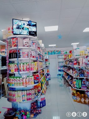
PIROLI
rruga vjeter lac, Mamurras, Albanien
contacts phone
:
+355
website:
www.facebook.com
Latitude:
41.5987614
, Longitude:
19.699109
larger map & directions
read more
nearest Supermarket
2.18 km
Shqipja
Rruga Hysen Dani, Gjonëm
Supermarket
read more
2.241 km
MARKET HALLA
SH39, Mamurras
Supermarket
read more
2.696 km
Sali Lika Center
Laç
Supermarket
read more
8.335 km
MlMl CENTER
SH35 Fushë Kuqe, Laç
Supermarket
read more
9.61 km
Market Bruno
Shëtitorja Ndoc Deda, Milot
Supermarket
read more
12.046 km
Minimarket Luzi
SH39
Supermarket
read more
13.417 km
Big Market
SH38, Fushë-Kruje
Supermarket
read more
13.467 km
Ervin Ustaj Market.
Fushë-Krujë
Supermarket
read more
13.474 km
Diambe Market 2
SH38, Fushë-Kruje
Supermarket
read more
16.525 km
MARKET PRENGA
Lezhë District
Supermarket
read more
19.465 km
Coca Cola
Rruga Vëllezërit Coku Ishull, Lezhë, Rruga Vëllezërit Coku Ishull, Lezhë
Supermarket
read more
20.267 km
Ton Sula Supermarket
Kucok
Supermarket
read more
20.354 km
Dakja
Kucok
Supermarket
read more
23.513 km
KAMELA SHPK
Vorë
Supermarket
read more
24.221 km
Supermarket Hysen
Rruga Vlorë, Tirana
Supermarket
read more
24.409 km
Big Market
Rruga Berisha, Kamëz
Supermarket
read more
24.541 km
KMY
Bulevardi Blu, Kamëz
Supermarket
read more
24.55 km
Market Dibra
Rruga Skënderbeu, Kamëz
Supermarket
read more
24.71 km
DARIO MARKET
Rruga Shëngjin - Kune Shengjin, Shëngjin
Supermarket
read more
24.738 km
Market KURTI
Rruga Manhatan, Kamëz
Supermarket
read more
24.814 km
Market & Furre Buke ALBANI
Kamëz
Supermarket
read more
24.911 km
Supermarket Celami
Bulevardi Blu, Kamëz
Supermarket
read more
25.292 km
EJONA
SH2
Supermarket
read more
25.387 km
Market Aleksi
Bulevardi Nënë Tereza, Shëngjin
Supermarket
read more
25.916 km
KMY
Rruga Marin Barleti, Kamëz
Supermarket
read more
📑
all categories
Accounting
Administrative area level 1
Administrative area level 2
Airport
Amusement park
Aquarium
Art gallery
Atm
Bakery
Bank
Bar
Beauty salon
Bicycle store
Book store
Bus station
Cafe
Campground
Car dealer
Car rental
Car repair
Car wash
Casino
Cemetery
Church
City hall
Clothing store
Colloquial area
Convenience store
Country
Courthouse
Dentist
Department store
Doctor
Electrician
Electronics store
Embassy
Finance
Fire station
Florist
Food
Funeral home
Furniture store
Gas station
General contractor
Grocery or supermarket
Gym
Hair care
Hardware store
Health
Home goods store
Hospital
Insurance agency
Jewelry store
Laundry
Lawyer
Library
Liquor store
Local government office
Locality
Locksmith
Lodging
Meal delivery
Meal takeaway
Mosque
Movie rental
Movie theater
Moving company
Museum
Natural feature
Neighborhood
Night club
Painter
Park
Parking
Pet store
Pharmacy
Physiotherapist
Place of worship
Plumber
Point of interest
Police
Post office
Premise
Real estate agency
Restaurant
Route
Rv park, camping
School
Shoe store
Shopping mall
Spa
Stadium
Storage
Store
Supermarket
Taxi stand
Train station
Transit station
Travel agency
University
Veterinary care
Zoo
administrative area level 3
administrative area level 5
sublocality level 1
↑