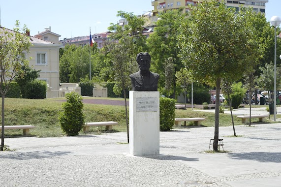
Park nearby Gjelbrimi2000 shpk
Albania
Park nearby Gjelbrimi2000 shpk
Gjelbrimi2000 shpk
Rruga Liria, Tirane 1030, Albanien
contacts phone
:
+355
Latitude:
41.378039
, Longitude:
19.751454
larger map & directions
read more
nearest Park
966 m
Qendër Kamëz
Kamëz
Park
read more
4.235 km
Paskuqan Park
Rruga Ali Demi, Paskuqan
Park
read more
5.098 km
Park Rekreativ
Tiranë
Park
read more
5.206 km
Eagle Square
Tirana
Park
read more
5.461 km
Rezidenca Lita
Rruga Dali Lita
Park
read more
5.469 km
Gintash
Tirana
Park
read more
5.473 km
Trafik Zbukurus
Tiranë
Park
read more
6.043 km
Parku 1 Kilometer
Tirana
Park
read more
6.539 km
Sheshi Aviatoreve
Tirana
Park
read more
7.136 km
Park ish Treni
Tirana
Park
read more
7.257 km
Ryan’s Coffee Area
Rruga Sokrat Mosko, Tirana
Park
read more
7.374 km
Lulishtja Kombinat
Rruga Ali Kelmendi, Tirana
Park
read more
7.803 km
Lorja - Lojra per femije, Park Lojrash - Lodra per femije, Park Lodrash - Kend Lojrash - Toys
Sheshi skenderbeu Tirane AL 1001, Sheshi Skënderbej, Tiranë
Park
read more
7.93 km
Vlearti's Tree
Rruga Sami Frashëri, Tirana
Park
read more
8.092 km
100 Years Indipendence Memorial
Tirana
Park
read more
8.234 km
Lulishte Selman Stërmasi
Tirana
Park
read more
8.25 km
Lulishte Komuna Parisit
Tirana
Park
read more
8.321 km
Fan Stilian Noli
Tiranë
Park
read more
8.329 km
Lulishtja Tre Vëllezërit Frashëri
Tiranë
Park
read more
8.599 km
Lulishte Ismail Qemali
Blloku, Tirana
Park
read more
8.724 km
Porcelani
Tirana
Park
read more
8.866 km
Shatërvani i Sheshit Nënë Tereza
Bulevardi Dëshmorët e Kombit, Tiranë
Park
read more
8.868 km
Sheshi I Frederik Shopen
Tirana
Park
read more
9.223 km
Artificial Lake
Tirana
Park
read more
9.556 km
Great Park of Tirana
Rruga Herman Gmeiner, Tiranë
Park
read more
📑
all categories
Accounting
Administrative area level 1
Administrative area level 2
Airport
Amusement park
Aquarium
Art gallery
Atm
Bakery
Bank
Bar
Beauty salon
Bicycle store
Book store
Bus station
Cafe
Campground
Car dealer
Car rental
Car repair
Car wash
Casino
Cemetery
Church
City hall
Clothing store
Colloquial area
Convenience store
Country
Courthouse
Dentist
Department store
Doctor
Electrician
Electronics store
Embassy
Finance
Fire station
Florist
Food
Funeral home
Furniture store
Gas station
General contractor
Grocery or supermarket
Gym
Hair care
Hardware store
Health
Home goods store
Hospital
Insurance agency
Jewelry store
Laundry
Lawyer
Library
Liquor store
Local government office
Locality
Locksmith
Lodging
Meal delivery
Meal takeaway
Mosque
Movie rental
Movie theater
Moving company
Museum
Natural feature
Neighborhood
Night club
Painter
Park
Parking
Pet store
Pharmacy
Physiotherapist
Place of worship
Plumber
Point of interest
Police
Post office
Premise
Real estate agency
Restaurant
Route
Rv park, camping
School
Shoe store
Shopping mall
Spa
Stadium
Storage
Store
Supermarket
Taxi stand
Train station
Transit station
Travel agency
University
Veterinary care
Zoo
administrative area level 3
administrative area level 5
sublocality level 1
↑