Grocery or supermarket nearby Furre Buke & Pasticeri "ELEZI"
Albania
Grocery or supermarket nearby Furre Buke & Pasticeri "ELEZI"
Furre Buke & Pasticeri "ELEZI"
L.Dobrovë, Peshkopi Albania
contacts phone
:
+355
Latitude:
41.6823949
, Longitude:
20.4351634
read more
nearest Grocery or supermarket
795 m
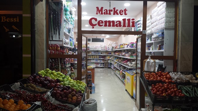
Market Çemalli
Rruga Tercilio Kardinali, Peshkopi
Grocery or supermarket
read more
6.66 km
Serat YLBER TUFA
Sohodoll Brest Road, Sohodoll
Grocery or supermarket
read more
36.057 km
Market Qazimi - BURREL
Rruga Kuvendi Dukagjinit Burrel
Grocery or supermarket
read more
39.604 km
Supermarket Kreshniku
Shtiqën Municipality
Grocery or supermarket
read more
43.548 km
Market Cengu
Rruga Sul Elezi, Kukës
Grocery or supermarket
read more
44.264 km
Market Pashtriku
Kukës
Grocery or supermarket
read more
60.478 km
Supermarket Osman Halilaj
Rruga Theodhori Bej, Tiranë
Grocery or supermarket
read more
60.967 km
Mish viçi i fresket Agron Buci
Rruga Alush Frakulla, Tiranë
Grocery or supermarket
read more
60.974 km
Anna Market
SH54, Tirana
Grocery or supermarket
read more
61.85 km
Albmarket
Tirana
Grocery or supermarket
read more
61.877 km
Sb Mati A1
Kinostudio, Tirana
Grocery or supermarket
read more
62.396 km
Supermarket "LILO"
Rruga Metush Luli, Tiranë
Grocery or supermarket
read more
62.704 km
Mini Market ALBA
Rruga e Dibrës, Tirana
Grocery or supermarket
read more
62.738 km
KMY
Rruga Ali Demi 6, Tirana
Grocery or supermarket
read more
63.038 km
Senduku i Gjyshes
Xhenfize Keko, Sheshi Josef Shtraus (Xhomlliku Perballe Markates se peshkut dhe karburant Kastratit, 1001
Grocery or supermarket
read more
63.542 km
Big Market
Bulevardi Zhan D'Ark, Tiranë
Grocery or supermarket
read more
63.678 km
KMY
Rruga Ali Demi, Tiranë
Grocery or supermarket
read more
63.783 km
Market Jata
Rruga Petro Nini Luarasi, Tiranë
Grocery or supermarket
read more
63.885 km
Suxhuk Kosove, Sallameri MEKA Halal Food
Rruga Todi Shkurti 5, Tirana
Grocery or supermarket
read more
📑
all categories
Accounting
Administrative area level 1
Administrative area level 2
Airport
Amusement park
Aquarium
Art gallery
Atm
Bakery
Bank
Bar
Beauty salon
Bicycle store
Book store
Bus station
Cafe
Campground
Car dealer
Car rental
Car repair
Car wash
Casino
Cemetery
Church
City hall
Clothing store
Colloquial area
Convenience store
Country
Courthouse
Dentist
Department store
Doctor
Electrician
Electronics store
Embassy
Finance
Fire station
Florist
Food
Funeral home
Furniture store
Gas station
General contractor
Grocery or supermarket
Gym
Hair care
Hardware store
Health
Home goods store
Hospital
Insurance agency
Jewelry store
Laundry
Lawyer
Library
Liquor store
Local government office
Locality
Locksmith
Lodging
Meal delivery
Meal takeaway
Mosque
Movie rental
Movie theater
Moving company
Museum
Natural feature
Neighborhood
Night club
Painter
Park
Parking
Pet store
Pharmacy
Physiotherapist
Place of worship
Plumber
Point of interest
Police
Post office
Premise
Real estate agency
Restaurant
Route
Rv park, camping
School
Shoe store
Shopping mall
Spa
Stadium
Storage
Store
Supermarket
Taxi stand
Train station
Transit station
Travel agency
University
Veterinary care
Zoo
administrative area level 3
administrative area level 5
sublocality level 1
↑