Bakery nearby Pasticeri Likaj
Albania
Bakery nearby Pasticeri Likaj
Pasticeri Likaj
Rruga Kosova, Vlorë, AL Albania
contacts phone
:
+355 69 566 1964
Latitude:
40.4552419
, Longitude:
19.4831274
larger map & directions
read more
nearest Bakery
17 m
Furre Buke Altin
Rruga Fejzo Mema, Vlorë
Bakery
read more
507 m
PRODHIME BRUMI Gostivari
Rruga Çamëria, Vlorë
Bakery
read more
710 m
Furrë Buke GESI SERXHIO
Rr.Hasan Kushta, Vlorë
Bakery
read more
730 m
Pasticeri Cucaj
Rr.Hasan Kushta, Vlorë
Bakery
read more
844 m
Bakeries GJERGJI 2
Rruga Fejzo Mema, Vlorë
Bakery
read more
1.762 km
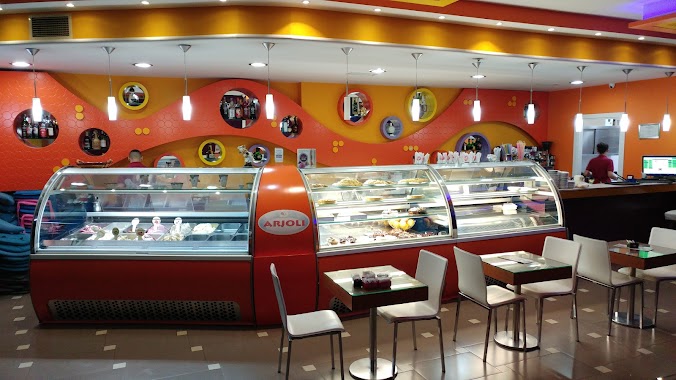
Pasticeri Arjoli
Vlorë
Bakery
read more
2.09 km
Furrë Buke KARABASH
Rruga Ate Kristo Negovani, Vlorë
Bakery
read more
2.168 km
Furre Buke Gjergji
Rruga Perlat Rexhepi 30, Vlorë
Bakery
read more
2.336 km
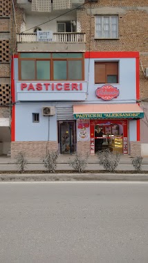
Pasticeri Aleksandri
Rruga Ali Demi, Vlorë
Bakery
read more
2.904 km
Bakery Erioni
Rruga Mitaq Sallata, Vlorë
Bakery
read more
2.95 km
FURRE BUKE BABO
Vlorë
Bakery
read more
26.457 km
Furrë Buke Malasi
Ballsh
Bakery
read more
26.631 km
Furri i Kolës
Rruga Këshilltarët E Hekalit, Ballsh
Bakery
read more
29.849 km
Furre Buke Panahori
Panahor, Ballesh
Bakery
read more
30.438 km
Furrë buke kosova
Fier
Bakery
read more
30.449 km
pasticeri sulejman pasha turke
Fier
Bakery
read more
30.466 km
pasticeri sulejman pasha turke
Rr. Ramiz Aranitasi, Fier
Bakery
read more
30.949 km
Pasticeri Rustemi
Rr. Muharrem Agalliu, Fier
Bakery
read more
31.111 km
Furrë Buke Albi
Rruga Kastriot Muço, Fier
Bakery
read more
31.514 km
PASTICERI KATINA DIMO
Fier
Bakery
read more
31.542 km
Furrë Buke Mallakastra
Fier
Bakery
read more
31.806 km
PASTICERI BREGOVINA
Fier
Bakery
read more
34.942 km
Angelo's Pie
Mbrostar
Bakery
read more
47.799 km
Sweet House
Rruga Antipatrea, Berat
Bakery
read more
48.802 km
Furra Xhelili
Rruga Tafil Buzi, Tepelenë
Bakery
read more
📑
all categories
Accounting
Administrative area level 1
Administrative area level 2
Airport
Amusement park
Aquarium
Art gallery
Atm
Bakery
Bank
Bar
Beauty salon
Bicycle store
Book store
Bus station
Cafe
Campground
Car dealer
Car rental
Car repair
Car wash
Casino
Cemetery
Church
City hall
Clothing store
Colloquial area
Convenience store
Country
Courthouse
Dentist
Department store
Doctor
Electrician
Electronics store
Embassy
Finance
Fire station
Florist
Food
Funeral home
Furniture store
Gas station
General contractor
Grocery or supermarket
Gym
Hair care
Hardware store
Health
Home goods store
Hospital
Insurance agency
Jewelry store
Laundry
Lawyer
Library
Liquor store
Local government office
Locality
Locksmith
Lodging
Meal delivery
Meal takeaway
Mosque
Movie rental
Movie theater
Moving company
Museum
Natural feature
Neighborhood
Night club
Painter
Park
Parking
Pet store
Pharmacy
Physiotherapist
Place of worship
Plumber
Point of interest
Police
Post office
Premise
Real estate agency
Restaurant
Route
Rv park, camping
School
Shoe store
Shopping mall
Spa
Stadium
Storage
Store
Supermarket
Taxi stand
Train station
Transit station
Travel agency
University
Veterinary care
Zoo
administrative area level 3
administrative area level 5
sublocality level 1
↑