Gas station nearby Alpet Tropoje
Albania
Gas station nearby Alpet Tropoje
Alpet Tropoje
SH22, Bajram Curri Albania
contacts phone
:
+355
Latitude:
42.3555967
, Longitude:
20.0795906
read more
nearest Gas station
132 m
Karburant Tuli Petrol
Rr. “Mic Sokoli”, SH22, Bajram Curri
Gas station
read more
41.478 km
AGIMI PETROL
Kukës
Gas station
read more
42.463 km
Karburant SHAHU
Kukës
Gas station
read more
42.895 km
GULF KUKES
Rruga Prizreni, Kukës
Gas station
read more
42.937 km
Gega Oil
E851, Kukës
Gas station
read more
43.787 km
KASTRATI Sh.P.K
Rruga e Kombit, Kukës
Gas station
read more
53.24 km
Karburanti
Vau i Dejës
Gas station
read more
54.275 km
Ndoci Petrol
Shkodër
Gas station
read more
54.831 km
Jukoil - Uldedaj Group
E762, Shtoj i Vjetër
Gas station
read more
54.843 km
Karburant
New Shtoj
Gas station
read more
55.152 km
Jukoil - Uldedaj Group
Rruga Inxh. Gjovalin Gjadri, Shkodër
Gas station
read more
55.158 km
Kastrati
Skanderbeg
Gas station
read more
55.806 km
Kastrati
SH1, Shkodër
Gas station
read more
56.657 km
Gega Oil
Rruga Dasho Shkreli, Shkodër
Gas station
read more
56.733 km
SHERBIME MEKANIKE
Rruga Hoxha Tasim, Shkodër
Gas station
read more
56.774 km
Kastrati Oil
Shkodër
Gas station
read more
56.808 km
A.K.E Petrol
Shkodër
Gas station
read more
57.136 km
Gulf Oil
Shkodër
Gas station
read more
58.011 km
Kastrati
Shkodër
Gas station
read more
58.709 km
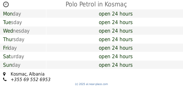
Polo Petrol
Kosmaç
Gas station
read more
59.177 km
Eida
Rruga Agron, Shkodër
Gas station
read more
59.194 km
Gega Oil
E762, Shkodër
Gas station
read more
59.551 km
Luani-A
Shkodër
Gas station
read more
59.628 km
Jukoil - Uldedaj Group
E762, Bahçallëk
Gas station
read more
59.791 km
Gega Oil
E762, Beltojë
Gas station
read more
📑
all categories
Accounting
Administrative area level 1
Administrative area level 2
Airport
Amusement park
Aquarium
Art gallery
Atm
Bakery
Bank
Bar
Beauty salon
Bicycle store
Book store
Bus station
Cafe
Campground
Car dealer
Car rental
Car repair
Car wash
Casino
Cemetery
Church
City hall
Clothing store
Colloquial area
Convenience store
Country
Courthouse
Dentist
Department store
Doctor
Electrician
Electronics store
Embassy
Finance
Fire station
Florist
Food
Funeral home
Furniture store
Gas station
General contractor
Grocery or supermarket
Gym
Hair care
Hardware store
Health
Home goods store
Hospital
Insurance agency
Jewelry store
Laundry
Lawyer
Library
Liquor store
Local government office
Locality
Locksmith
Lodging
Meal delivery
Meal takeaway
Mosque
Movie rental
Movie theater
Moving company
Museum
Natural feature
Neighborhood
Night club
Painter
Park
Parking
Pet store
Pharmacy
Physiotherapist
Place of worship
Plumber
Point of interest
Police
Post office
Premise
Real estate agency
Restaurant
Route
Rv park, camping
School
Shoe store
Shopping mall
Spa
Stadium
Storage
Store
Supermarket
Taxi stand
Train station
Transit station
Travel agency
University
Veterinary care
Zoo
administrative area level 3
administrative area level 5
sublocality level 1
↑